GPS Correlate
by Daniel Fandrich
Attaches GPS location to images
About
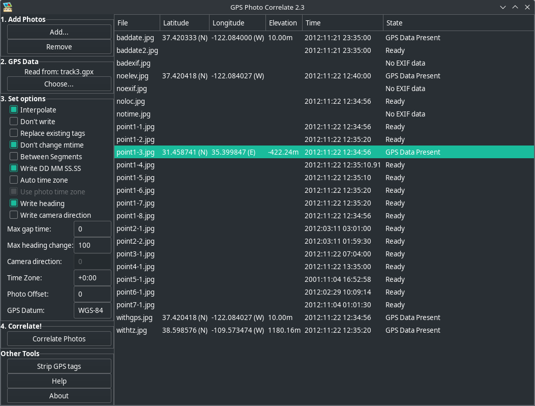
GPS Correlate takes a GPS track stored by any of a number of GPS devices and phone apps and correlates the time stamp of a digital photo with the location of the track at that same moment. The location of the image is then stamped directly into the image file using the appropriate EXIF GPS tags. The resulting image then contains not just the time the photo was taken but its exact location, too. The location is used by various other applications and services (such as Google Photos) to display a map of where the photo was taken.
Permissions
Everything this app can reach outside its sandbox. Nothing here weakens it.
- inter-process communication (needed for X11)
--share=ipc - X11 display, only when Wayland is unavailable
--socket=fallback-x11 - Wayland display
--socket=wayland - talks to org.gtk.vfs.*
--talk-name=org.gtk.vfs.*
Who publishes this
The creator demonstrably controls this app id: Flathub verification, the hosting account owns the namespace, or a well-known file on their domain.
- verified on Flathub: the developer proved they control this app id
publisher:flathub
Maintenance
Recent activity on the upstream repository, or built and reviewed by Flathub.
No staleness signals: recent activity, or built and reviewed by Flathub.