
GeoLibre Desktop
by GeoLibre
Lightweight, cloud-native GIS platform
About
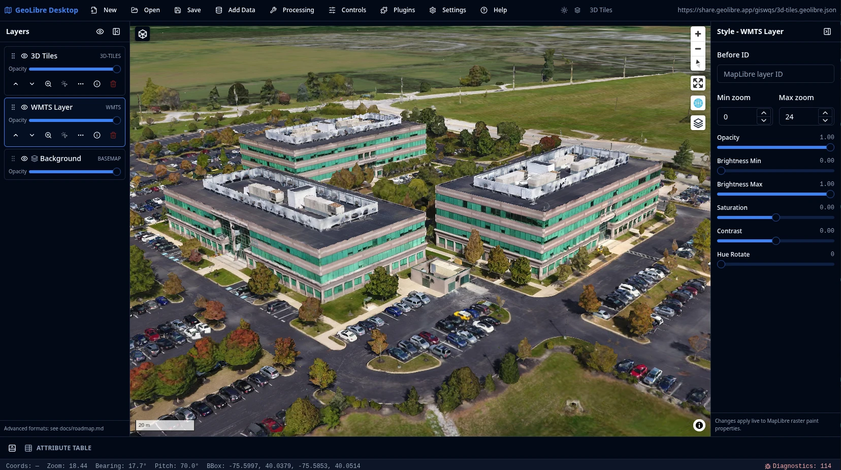
GeoLibre is a lightweight, cloud-native desktop GIS for visualizing and analyzing geospatial data, built on MapLibre with deck.gl for 3D and large point-cloud overlays. It loads vector and raster files, web services, ArcGIS layers, MBTiles, 3D Tiles, and cloud-native formats such as GeoParquet, FlatGeobuf, PMTiles, and COG, converting local data in the browser with DuckDB-WASM Spatial. Projects are saved in an open .geolibre.json format, and the app is extensible through a plugin ecosystem. Highlights: - Add data from files, web services, databases, and cloud catalogs - Vector and raster processing tools, with an optional Python sidecar - A SQL workspace for DuckDB Spatial, and a docked Jupyter notebook - Offline basemap downloads, story maps, and multi-user collaboration
Permissions
3 permissions weaken the sandbox. Flatsonar asks before installing.
- full access to your entire file system
--filesystem=host - X11 display: X11 lets apps read input and windows of other apps
--socket=x11 - sets LD_LIBRARY_PATH: changes which libraries or plugins get loaded
--env=LD_LIBRARY_PATH=/app/lib:/app/lib/tahoma2d - inter-process communication (needed for X11)
--share=ipc - network
--share=network - audio
--socket=pulseaudio - GPU acceleration
--device=dri
Who publishes this
Nobody has confirmed that the publisher controls this app id. Flatsonar warns before installing.
- org.tahoma2d.Tahoma2D claims the domain tahoma2d.org; only its owner can prove that
publisher:namespace - repository is 11 day(s) old with 3 star(s): no track record yet
publisher:new-repo
Maintenance
Recent activity on the upstream repository, or built and reviewed by Flathub.
No staleness signals: recent activity, or built and reviewed by Flathub.